⛰️
Altitude 1213 m - Superficie 2.1 ha - Profondeur ? -
Poissons:
Estany de Puigcerdà. Etang artificiel construit vers 1260.
Départ : Puigcerdà
Massif : Cerdagne
Parcours :
Montée 0h -
El Segre
Estany de Puigcerdà

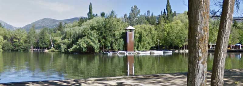
photo d'après Google Street View

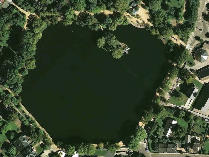
photo d'après Google Earth

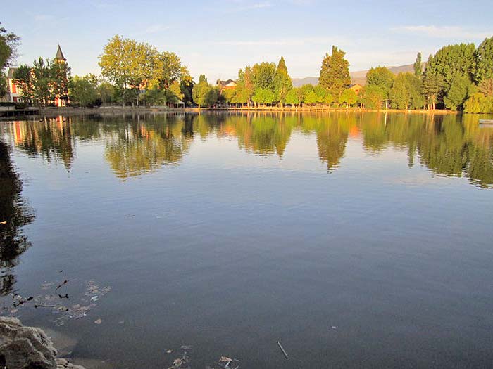
photo septembre 2011 d'après Núria Boltà Vilaró

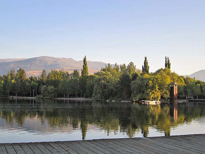
photo septembre 2011 d'après Núria Boltà Vilaró
Autres photos:


